Mallamapalli Gr
Type Locality and Naming
Lithology and Thickness
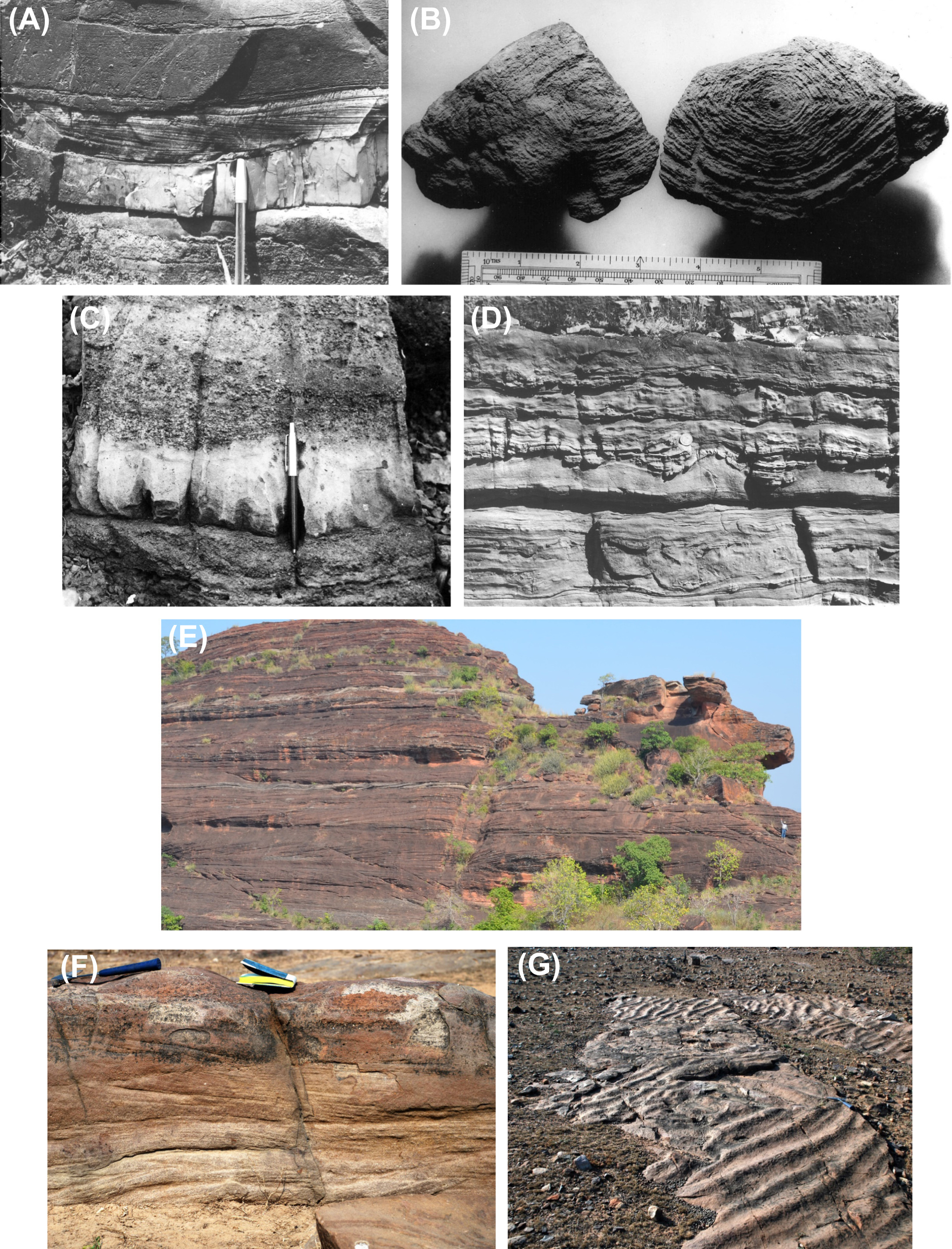
Sandstone to claystone. Upward succession of Bollapalli Fm (alluvial-tida), Pandikunta Limestone Fm, then Karlai Shale Fm (or Pandikunta Shale Fm). (Fig. – images A and B)
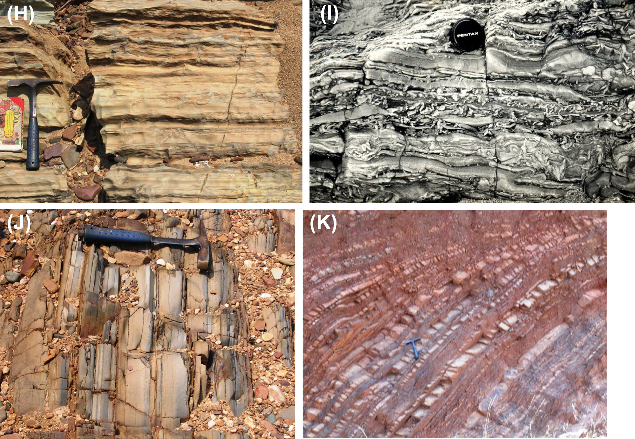
[Figure: Pranhita-Godavari valley basin Field photographs illustrating lithology and sedimentary structures. (A) Bollapalli Fm - Sandstones. (B) Pandikunta Limestone Fm - Stromatolites. (C) lower part of Mulug Gr - Intercalated conglomerate and sandstone. (D) Rajaram Fm - Limestones. (E) Sullavai Gr Venkatpur Sandstone Fm - Large aeolian cross-strata. (F) Albaka Gr - Cross-stratified sandstone. (G) Somandevara Quartzite Fm - Rippled unit. (H) Bodela Vagu Fm - Laminated lime mudstone. (I) Somnur Fm - Heterolithic sandstone-shale with profuse desiccation crack in-fills. (J) Tarur Nala Fm - Ash beds of Kotturu Somanpalli. (K) Tarur Nala Fm - Graywacke-shale turbidite with cherty intervals. (from Saha et al., 2016)]
Relationships and Distribution
Lower contact
Unconformity onto Karimnagar granulate and granite gneiss
Upper contact
Unconformity, overlain by Jakaram/Damala Gutta Fm at base of Mulug Gr
GeoJSON
Fossils
Age
Depositional setting
Upward deepening from alluvial fan to carbonate shelf; the last inundated by sea-level rise culminating in the thick shales of the Karlai Shale Fm (or Pandikunta Shale Fm)
Additional Information

